Ocean colour, vicarious calibration and trip to Hawai'i
Josh Schofield shares his experience of the Kamal Hossain Secondment Award.
4 minute read
I’m Josh Schofield, a Higher Engineer in the Optical Radiometric Metrology at NPL. I’m currently on an international secondment as part of the Kamal Hossain Secondment Award. If you missed my previous blogs you can catch up here.
Ocean colour and why the need for calibration
The ocean is one of Earth's most important ecosystems. At the base of almost all marine food webs sit phytoplankton, microscopic, photosynthesising organisms that collectively produce around half of all the oxygen in Earth's atmosphere and play a central role in the global carbon cycle. Monitoring phytoplankton is therefore fundamental to understanding the health of marine ecosystems and the ocean’s response to climate change.
Phytoplankton are found in the upper, sunlit surface layers of the ocean where sufficient sunlight is available for photosynthesis. When sunlight enters the ocean, it interacts with phytoplankton and other optically active constituents such as suspended sediments and dissolved organic material. These interactions modify the spectral composition of light within the water and a small fraction of this incident light is scattered back out of the water. The spectral characteristics (colour) of this water‑leaving radiance carries information about the composition of the upper ocean and provides the physical basis for inferring phytoplankton presence, abundance, and related properties. Satellite ocean colour measurements therefore underpin derived products such as chlorophyll concentration, phytoplankton biomass, and water clarity, enabling their observation on a global and sustained basis.
 Accurately retrieving the ocean signal is challenging because the water‑leaving contribution represents only a small fraction of the total radiance measured by a satellite, with most originating from atmospheric scattering. This makes ocean colour products highly sensitive to sensor calibration and atmospheric correction. Achieving the accuracy required for climate applications depends on System Vicarious Calibration (SVC), which uses comparisons of well‑characterised, SI‑traceable in‑situ measurements collected at dedicated calibration sites, to derive adjustment factors to correct the satellite sensor’s on-orbit response.
Currently, there are only two platforms in the world operating at the level needed for primary vicarious calibration; MarONet, (see my previous blog for my work on this) and the Marine Optical Buoy (MOBY). MOBY is deployed off the coast of Lānaʻi, Hawai’I and is funded by the U.S. National Oceanic and Atmospheric Administration (NOAA) and operated collaboratively between San José State University, the University of Miami, and the National Institute of Standard and Technology (NIST).
Visiting MOBY
Parallel to the MarONet activities I’ve described in my earlier blogs, my secondment also includes a research investigation developed in close collaboration with Professor David Antoine at Curtin University. The central questions are whether calibration adjustment factors derived from different in-situ SVC platforms (such as MarONet & MOBY) produce consistent results, and where differences arise, what may be driving this and what are the implications for downstream data products such as chlorophyll concentration? 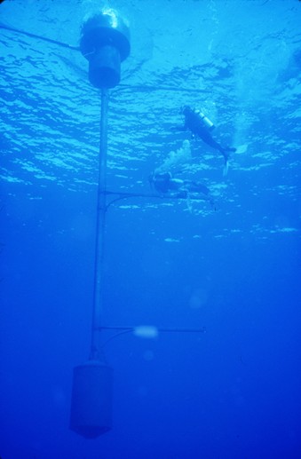
This matters as the field moves toward operating a network of in-situ SVC sites. Thus, understanding how gains derived from different locations, instruments, and environmental conditions compare is a prerequisite to utilising a network of such sites reliably and is of relevance given MOBY's almost 30-year record alongside MarONet's development as another current primary SVC platform.
To support this research, I was lucky enough to extend my secondment to spend a little over a month working alongside the MOBY team in Honolulu, Hawai'i. Having operated at the forefront of ocean colour vicarious calibration for almost three decades, the MOBY team carry a level of accumulated expertise that is unmatched in the field, presenting an incredible opportunity to learn what makes this project so successful. More on what happened on this trip in the next blog!
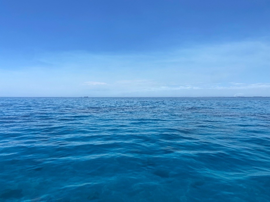
Image left: The colour of the ocean offers clues about the health of our seas and their role in the Earth system.
Image right: MOBY in the clear blue water at its mooring site off the island of Lāna'i. Divers are used to service the buoy and for deployment/recovery. Photo: San José State University.
17 Sep 2026